Horizontal and Vertical Paths Using a City Bus Route Simulation
Horizontal and Vertical Paths Using a City Bus Route Simulation
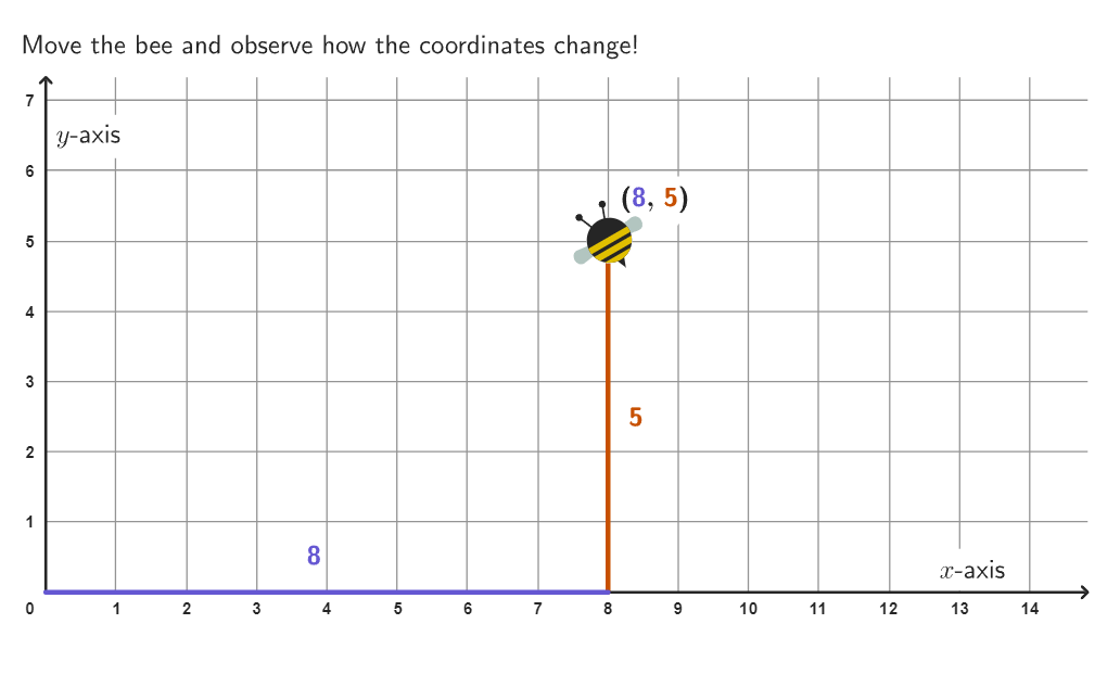
Describe a path between two stop signs on a city map with horizontal and vertical directions to get a bus to a destination.
Putting It All Together
Answer these open ended questions on your own or with others to form deeper math connections.
Open-ended question 1
If a bus drove 1 block up then 1 block right repeatedly on its way from one bus stop to another, would the route be longer?
Text and math input
Open-ended question 2
If bus stop is at and bus stop is at , what is one possible route between the two stops? Is it possible to count how many routes are possible?
Text and math input
Open-ended question 3
What is the shortest path between any 2 bus stops that are not directly horizontal or vertical to each other? Is this the only one in all situations?
Text and math input
Explore more
More from Coordinates
Next Resources


